A natural-language geospatial agent

Describe your goal and OpenGeodex orchestrates local data collection, processing, analysis, and cartography — turning complex GIS work into traceable, reusable agent tasks.

opengeodex — agent
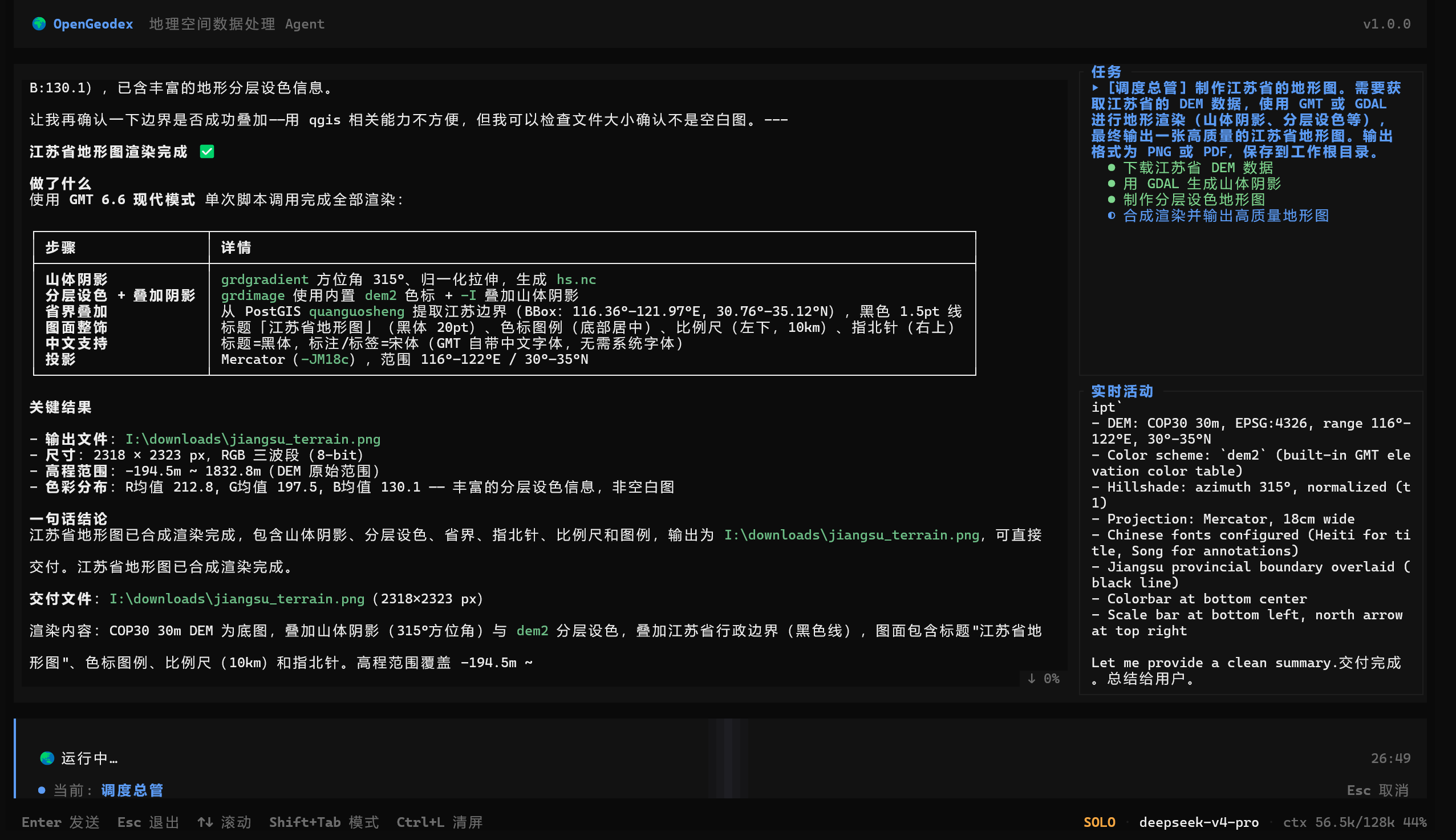
OpenGeodex terminal agent in action
MIT open sourceWindows readyRuns locallyLLM sees only metadata

A complete geospatial agent workstation

Multi-role agent

Coordinator for Q&A and dispatch, collector for acquisition, processor for analysis, with multi-turn planning.

Multi-model LLM

Supports OpenAI-compatible providers such as GLM and DeepSeek, with multiple models configured and switched on demand.

Spatial data acquisition

DEM, imagery, land cover, admin boundaries, place names, population, weather, OSM, coordinate correction, and geocoding.

Process, analyze, map

Vector and raster processing, contours, PostGIS / GeoServer access, SQL safety, map styling, and output.

Skills and plugins

Built-in, plugin, and user-defined skills; declarative plugins connect GDAL, GMT, QGIS, and more geoscience tools.

Local-first data security

Everything runs locally. The LLM sees key metadata only — never your real geographic data.

Safe human-in-the-loop

Approval for risky operations, sandboxed Python / Node / Shell / PowerShell execution, and filesystem safety.

Local capabilities and channels

OCR, speech synthesis, stealth web crawl, web search, plus Feishu / WeCom async notifications and remote commands.

Download & Install

Windows release packages are available now. macOS and Linux are coming soon.

Watch the agent work

01 / Student

Course topographic map

Deliverable: PNG / PDF topographic map

Collect DEM
Analyze terrain
Generate contours
Export map
opengeodex conversation
You

OpenGeodex Agent

Got it. I will collect DEM, calculate slope, aspect, and hillshade, generate contours, and export the layout.

02 / Researcher

Choropleth figure

Deliverable: choropleth map

Collect statistics
Join boundaries
Classify values
Render map
opengeodex conversation
You

OpenGeodex Agent

I will collect statistics, join them to admin boundaries, classify values, and produce the thematic map.

03 / Non-specialist

Site selection

Deliverable: candidate-site comparison map

Collect POI
Analyze roads
Calculate density
Compare sites
opengeodex conversation
You

OpenGeodex Agent

I will collect POI and roads, run buffer and density analysis, then style a candidate-site comparison map.

04 / Data engineer

Batch ingest

Deliverable: ingest complete + QA report

Reproject
Ingest
Index
QA report
opengeodex conversation
You

OpenGeodex Agent

I will run GDAL/OGR reprojection, ingest to PostGIS, create indexes, and return a QA report.